

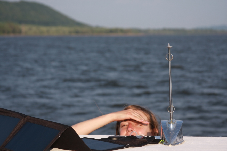
Every day I wake up shortly after the sun rises and pore over the charts and notes I made the night before as the Marine VHF gives the weather report in the background, to make sure we are ready for the day. Actually that’s not true. I usually try to disentangle myself from the mosquito net, somehow hop over Emily without waking her up (Emily is more of a night owl), usually trip over something (a rogue fender, cooking pan, water bottle, what not, shanty boat objects), I steady myself, crawl through a small opening in the canvas onto the fore deck, blink a couple of times, take in where am at, feel that nice cool breeze coming off the Mississippi, then I go in search for coffee (still haven’t figured out the cool Swedish stove Dale lent us that runs on ethanol alcohol). After all of this I finally take a look at the charts.
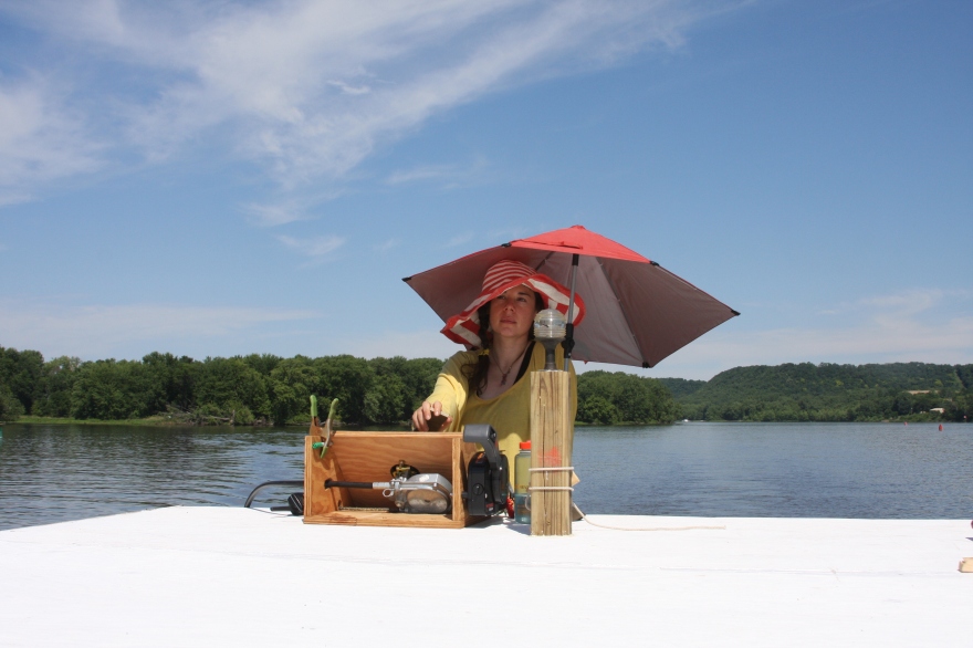
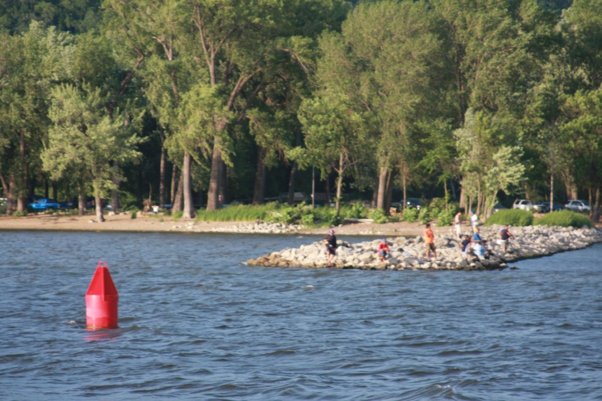
Navigating the big muddy is a combination of planning, cross referencing Army Corps of Engineering charts with the Navionics app (a handy little app that acts like a GPS and shows the different depths of the river), treasure hunting for buoys (green cans and red nuns mark the channel, the green cans are on the right descending bank and the red nuns are on the left descending bank), and mile markers, checking things out with binoculars, improvising when unexpected things take place, yelling out commands, and a whole lot of dancing with barges. My tools are binoculars, charts, phone hooked up to a solar panel, Navionics app, Marine Traffic app, a goofy hat to keep the sun out of my face, a pen to continually record the time when we pass certain mile markers (good for calculating our speed and in case we lose Navionics) and where our gas level is at (handy for burn rate and knowing when we will need to anchor), and a blow horn in case s$%t really hits the fan.
I am always looking at barge traffic upriver and downriver. I’ll call out the names of the different barges heading our way: George King, A. Steve Crowley, Poindexter, Lil Charley, and so on. It usually goes something like this:
Me: “Hey Emily, Poindexter is coming down river and looks like he will be on our port side, traveling at 6 knots and is 43m in length, we will likely run into them around that bend. We can pull in over there. The depth looks good.”
Emily: “What?”
[The engine is loud and wind is whipping around us. I need to yell louder.]
Me: “Huge ass barge coming down river. Poindexter. Over there is a spot we can pull into.”
[Emily gives the thumbs up and pulls Michi Zeebee in between the two wing dams where I have confirmed that the depth is okay (wing dam: a dam or barrier built into a stream to deflect the current – or as the way I see it, a good way to bang up the hull of your boat). Emily radios the barge and bounces back and forth with ease, knowing the limits of the boat. We do this little dance until the huge barge passes by then we motor back into the channel and continue on.]
I then go back to looking for green cans, red nuns, and mile markers, while watching barge traffic, calculating our time to possible docking areas for every stretch of the river, and looking for escape routes for tough areas where the channel narrows and we might encounter a barge. On the long lazy stretches I will search for Eagles and spot them. We once saw a bald eagle fly right over the river across an American flag. Can’t get more American than that.
Now I sit here with a local brew writing to you all and poring over my notes for tomorrow. I have our anchor spots marked out, potential hazardous areas with points where we can pull into, and of course my dancing shoes for those barges out there. I might even look up how to operate that fancy Swedish stove tonight.

Hi Ladies,
My name is Ted. I work at Pepin Marina and spoke with you regarding your adventure. Did you get past Alma today (Thursday)?
Ted
LikeLike
Hi! Great to hear from you! We’re at LaCrosse now — made it to just about Lock 5A yesterday.. still trekkin’… Any suggestions for anchorages south of here?
Emily
LikeLike